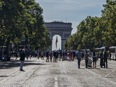
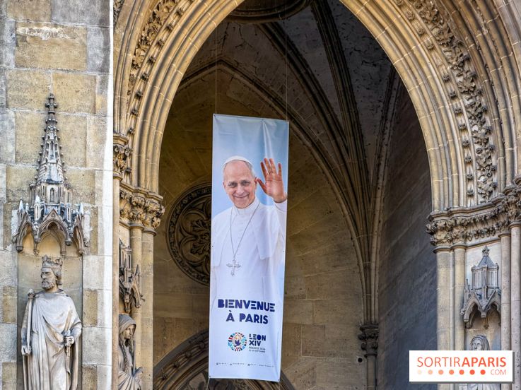
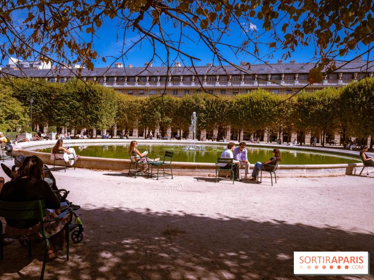
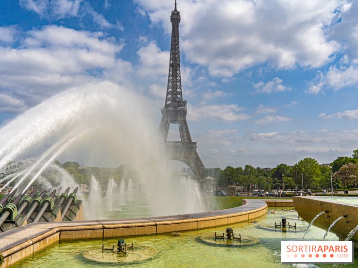
The weather in Paris and Île-de-France remains summery for the weekend of September 26 and 27, 2026, marked by the Pope Leo XIV’s Mass at the Place de la Concorde, with sunny spells, above-normal temperatures and dry conditions.
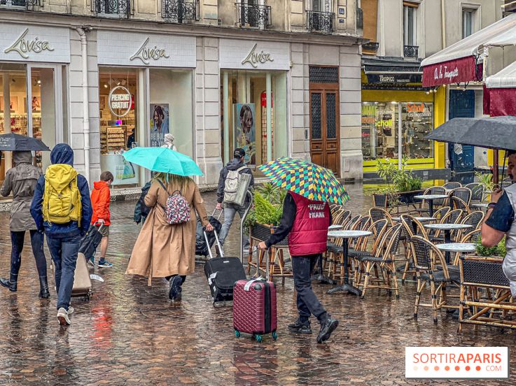
Sun or umbrella for the pope's visit to Paris? With two days to go before the big events on September 25 and 26, 2026, the weather outlook is taking shape for the capital and Saint-Denis.
Weather in Paris and Île-de-France is taking on summer tones this week, September 21–27, 2026, under a stubborn anticyclone that both heralds autumn and coincides with the visit of Pope Leo XIV to the capital.
France's weather could take on a different look after months of drought. Seasonal forecasts point to a much more unsettled autumn in 2026, with rain returning, gusty winds, and a heightened risk of storms.
Heat is returning to France and the Île-de-France region at the start of September 2026, with Météo-France issuing an orange alert in the south. But should we really fear another heatwave in the Paris region?
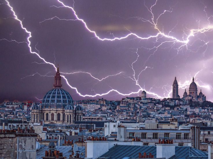
Storms return to Île-de-France on Tuesday, August 25, 2026. Météo-France has Paris, the inner and outer suburbs, and the Oise department on yellow alert, with unstable skies and a risk of thunderstorms later in the day.
The weather outlook for the coming months could be set for a dramatic reversal: after a historic drought this summer, France could see a markedly wetter autumn and winter in 2026, with an elevated flood risk according to the latest seasonal trends.
Météo-France keeps Paris and the Île-de-France region under yellow thunderstorm alert this Friday, July 17, 2026. After a stormy night, more showers are expected in the afternoon, as temperatures finally dip back below 30°C.
The heatwave is easing over Paris and Île-de-France, where red alerts give way to orange this Wednesday, July 15, 2026, but weather models do not rule out a fourth heatwave before the month ends. Here’s what you need to know.
Storms are set to hit Paris and Île-de-France this Monday, July 13, 2026, with a yellow weather alert issued by Météo-France for the entire region, while the red heatwave alert remains in effect in Paris and across the Île-de-France departments.
Sahara sand is moving up toward France from this Sunday, July 12, 2026, amid a heatwave while Île-de-France remains on red alert. A milky sky, dust-covered cars, and, above all, nights that could be even tougher to endure.
This Wednesday, May 13, and Thursday, May 14, 2026, the Île-de-France region is grappling with a string of troubles: a yellow thunderstorm alert issued by Météo-France, with showers, gusts, a risk of hail and a real chill for the season.
Thursday, May 14, 2026, Ascension Day, looks set to be cool and wet in Paris and the Île-de-France region. Temperatures will range from 7°C to 14°C, with showers expected throughout the day and a steady wind.
What’s the weather like right now in Paris and Île-de-France? Check the forecast daily before planning your activities. Rain or snow, sunshine or clouds—whether it’s cold or warm, good weather or bad—the city is yours to enjoy! Here’s your weather update for Paris and Île-de-France for Sunday September 27, 2026
Due to a yellow alert for strong winds in Île-de-France, the Domaine de Sceaux in the Hauts-de-Seine will be closing early today, Wednesday, March 25, 2026, at 2 p.m.
The weather is bright and sunny across Paris and Île-de-France, and many of us are almost worried it won’t last. Will this spring-like spell continue? Will rain eventually spoil the sunshine we've been craving? Here's everything you need to know about the forecast for the coming days.
Several departments in northern and eastern France are under a yellow alert for snow and ice on Wednesday, February 18, 2026. In Île-de-France, the Val-d’Oise and Seine-et-Marne are affected. Here’s a roundup of the current situation.
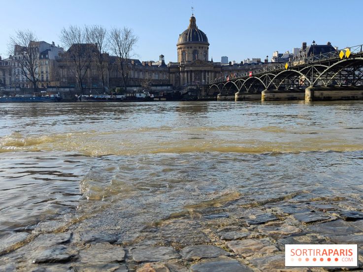
Météo-France has kept Paris and the Île-de-France region on yellow alert for rain-induced flooding and rising waters on Wednesday, February 18, 2026. The Seine River remains swollen, with riverside roads still closed, and snow could make an appearance later in the evening.
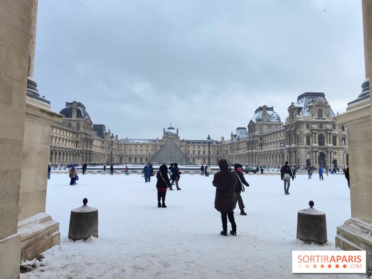
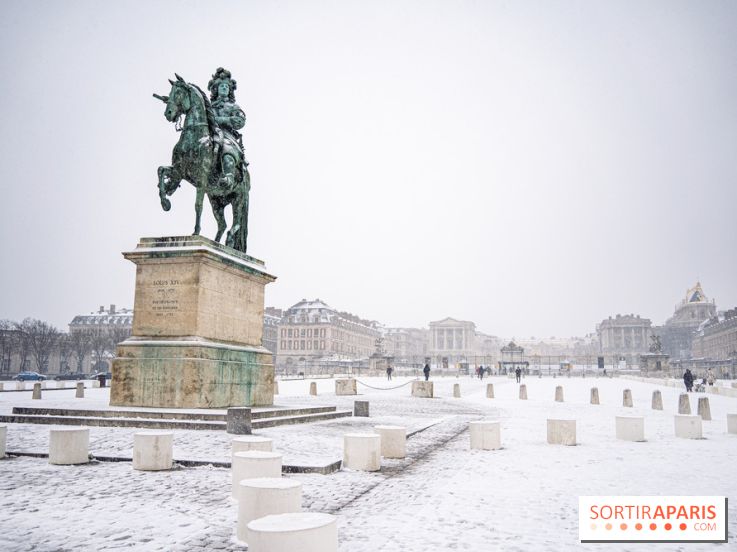
The Île-de-France region has been placed on orange alert for snow and ice this Sunday, February 15, 2026. All eight departments in the area are affected by this snowfall, which is expected to last until early afternoon, with accumulations ranging from 1 to 5 centimeters in some places.
A concerning weather phenomenon is making headlines: the polar vortex might split apart this February 2026, potentially unleashing freezing temperatures across Europe and France. Here’s what you need to know about this swirling mass of cold air that could turn your winter upside down.