Did you know that to avoid finding Paris under water, other towns can be flooded upstream of the Seine? During seasonal floods, caused by episodes of heavy rainfall, the capital rarely sees its water level rise above 3 or 4 meters, and this is thanks to the dams located upstream. Particularly in the Aube, one of the three confluences that join the Paris river, water reservoirs have been built to prevent flooding in the Paris region. Their purpose is to regulateexcess water in the rivers and prevent them from overflowing.
The four largest dams are located on the four biggest rivers: the Yonne, the Seine, the Aube and the Marne.
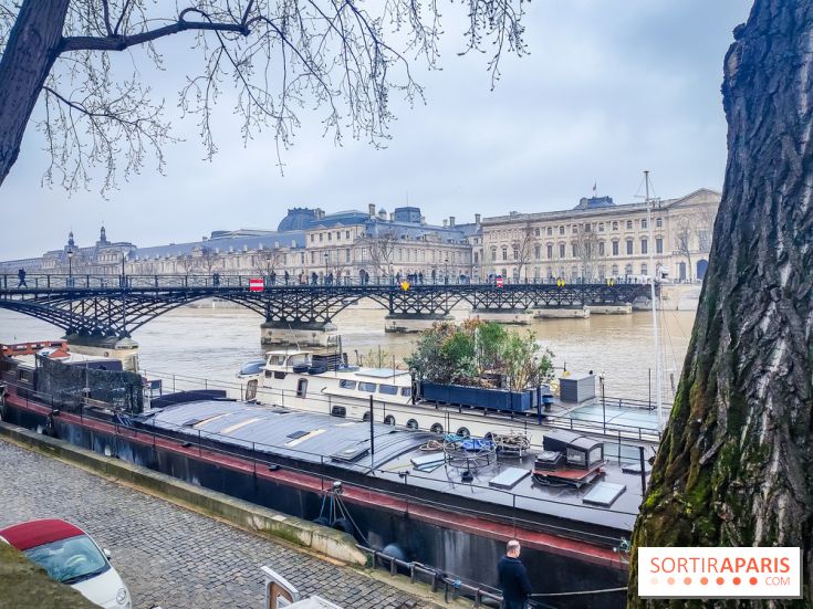
In December 2023, don't worry, the Seine is at its usual level for the season, around 3m20. But in 2016 and 2018, the river rose to as much as 6 meters, wiping out the quays as not even the basins were able to absorb the surplus. To date, the flooding has prevented some boats from passing through, since as soon as the Seine level exceeds 1m60, at the Pont d'Austerlitz, river traffic is impacted, with some bridges lower than others. While waiting for the water to recede, some cycle paths remain closed, as the Seine is still under yellow alert.
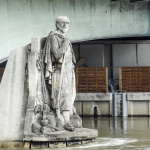
The story of the Pont de l’Alma Zouave, the statue measuring the Seine’s spate
Have you heard about the Zouave, the legendary statue of the Pont de l’Alma assessing the level of the Seine during major floods in Paris? [Read more]


 The story of the Pont de l’Alma Zouave, the statue measuring the Seine’s spate


